Laguna de la Caldera: enjoy the glaciers of the Sierra
- The Caldera Lagoon is of glacial origin and one of the largest in the Sierra Nevada. Would you like to visit it? We tell you all the details.
One of the most spectacular spots in the Sierra Nevada, and one that you can enjoy in all its splendour in summer, is the Caldera Lagoon.
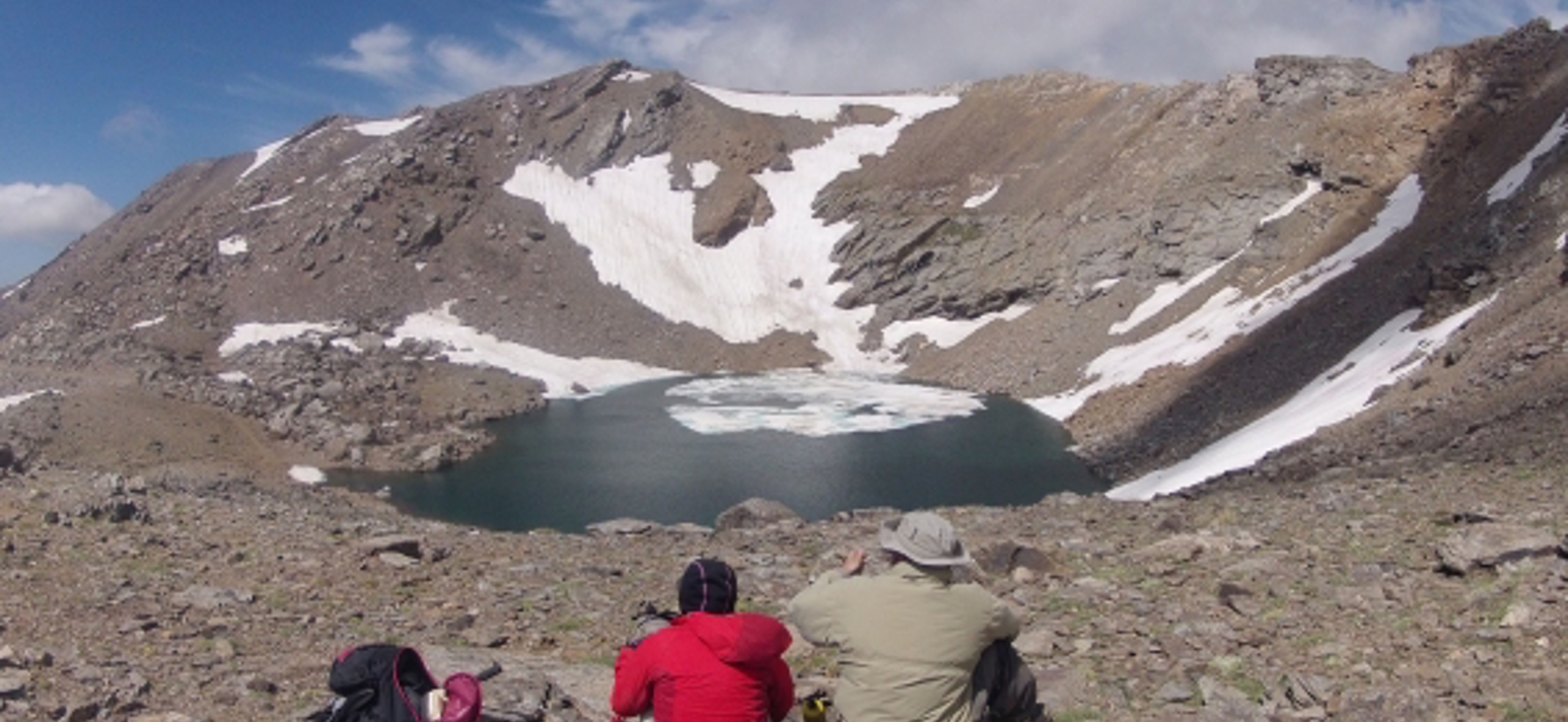
It is a lagoon that receives water from the numerous snowfields that surround it, with a shape and depth that attract a lot of attention.
In summer we can still enjoy the largest lagoon in the Sierra Nevada, formed in an ancient glacial cirque. Do you want to know where it is and how to get there to see it up close? Here we tell you all about it!
Where is the Laguna de la Caldera?
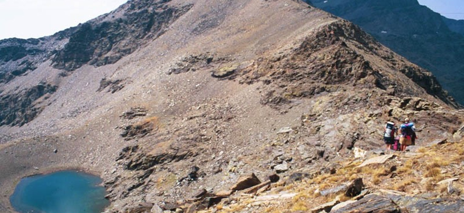
The Caldera Lagoon is an expanse of water that can occupy a maximum area of up to two hectares and is 14 metres deep, depending on whether or not the hydrological year has been favourable.
As we have said, it is the largest lake in the Sierra, although not the deepest.
We are talking about a high mountain lake, located on the southern slopes of the Sierra Nevada. Specifically, at an altitude of 3,026 metres.
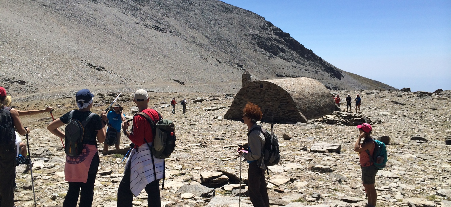
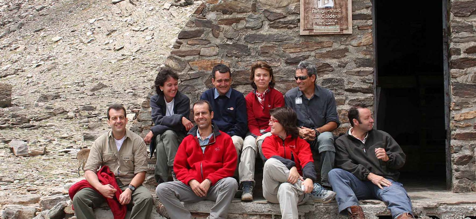
It is in a small cirque of mountains that surround it, near the Refugio-Vivac de la Caldera. From there, it will be to our right if we look towards the valley formed by the Mulhacén River.
In its cone you can see some of the most crystalline waters of the Sierra Nevada. Although in summer it is possible to see the bottom of the lagoon due to the thaw.
There are many legends about this lagoon. For example, it was attributed a volcanic origin for many years, which gave rise to all kinds of stories. But now it is known that it is of glacial origin and is one of the few endorheic lagoons in the Sierra, which is why no river flows from it.
How to get to the Laguna de la Caldera in Sierra Nevada?
In order to get to the Laguna de la Caldera we have to be prepared to walk a long way. The ideal is to do the route of the Veleta and Mulhacén, whose itinerary allows you to enjoy this beautiful landscape.
It starts at the Posiciones del Veleta - which is accessed via the resort's summer ski lifts from Pradollano - until you reach the summit of the Veleta itself. From there, it passes through the Collado de la Carihuela pass, the Laguna de Río Seco and then on to the Laguna de la Caldera, and from there on to the highest peak on the Peninsula, the Mulhacén.
This route is of high difficulty and the walk takes between 8 and 9 hours, so you should be equipped with everything you need for this type of trail: suitable clothing and footwear, sun protection, a hat, a backpack with water and food, etc. Depending on when you go up to this point, it is advisable to take some warm clothes, because at this altitude the temperature difference is considerable.
It is a difficult hike but worth it because the views are breathtaking and because the Laguna de la Caldera turns into an ice rink during the winter, so summer is the best time to see how impressive it is.
The descent follows the same route, retracing our steps. So you will enjoy the scenery twice as much, it is a highly recommended excursion!